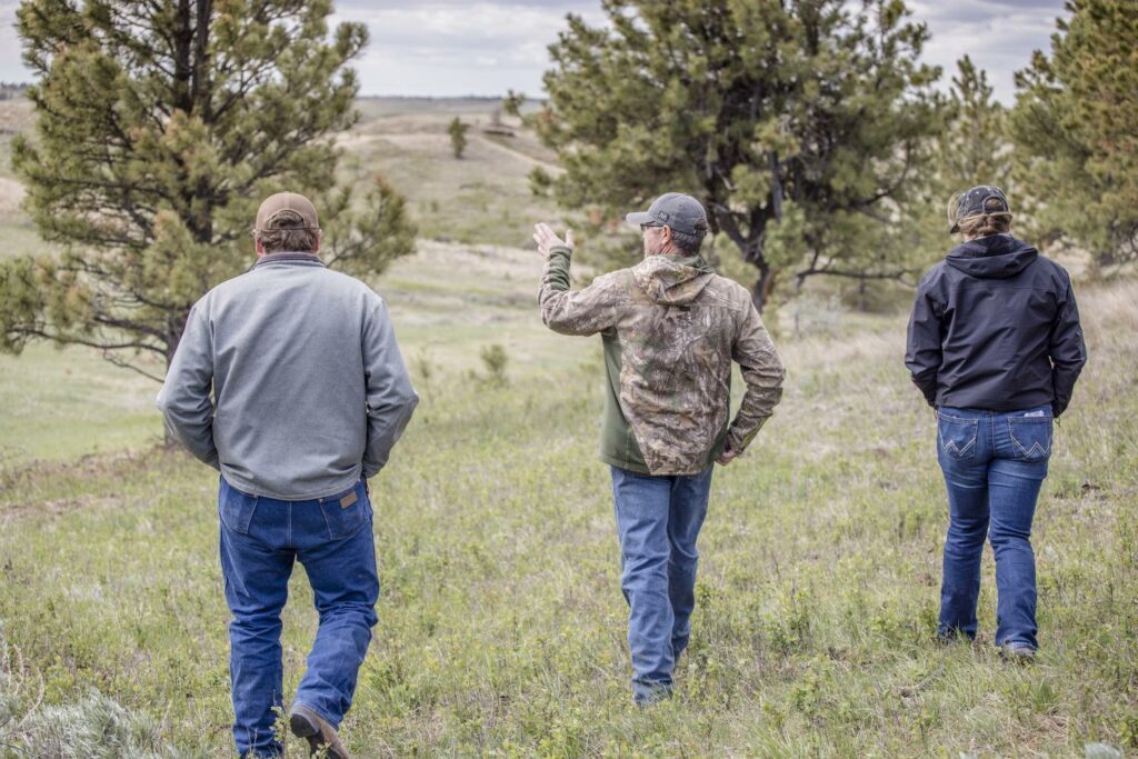
Ranchers who carefully monitor and manage the range can often describe the changes they have seen over the course of several years. However, on a day-to-day basis, major changes to the landscape can be difficult to recognize and nearly impossible to quantify as some occur slowly and tend to go unobserved when viewing the range each day.
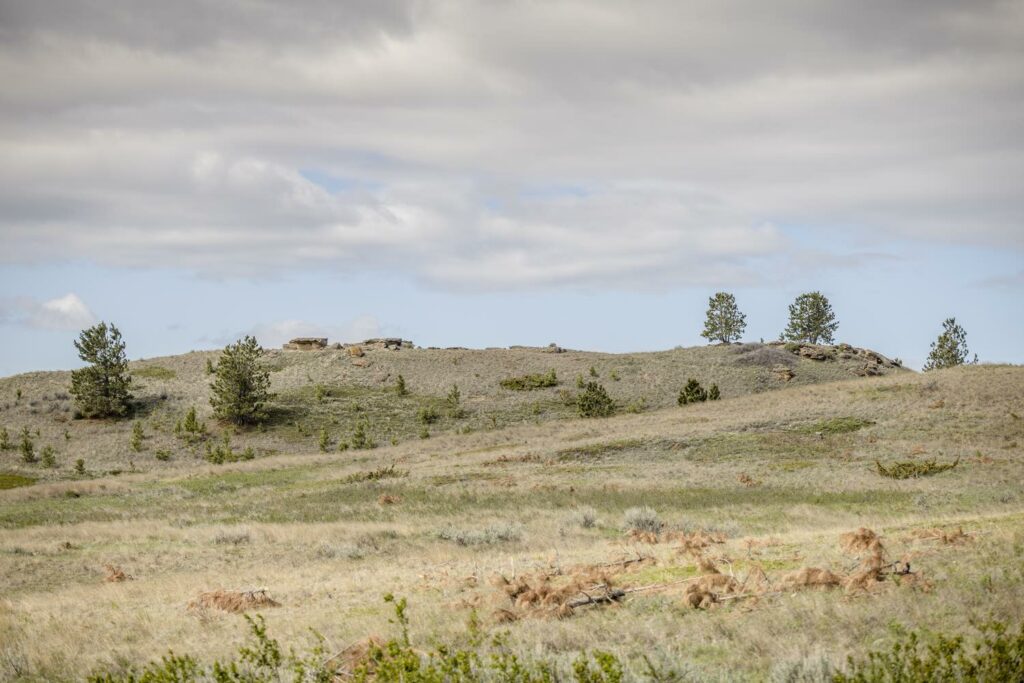
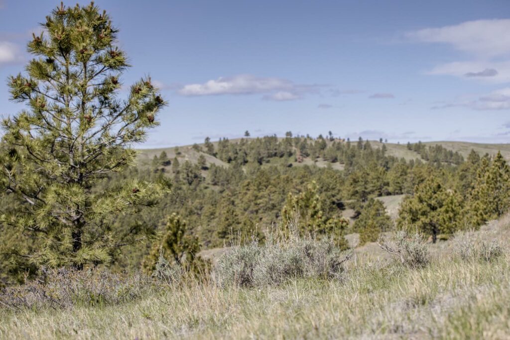
In the case of conifer encroachment on Kevin Koss’ ranch south of Malta, Montana, for many years it was largely unnoticed. But after what Koss called over a decade of “above average precipitation at different times of the year, but good years in all,” he “suddenly” observed “thousands of small trees from six inches tall to several feet high.”
“Then I got to paying attention more, and I could see that the places where, when I was a kid, there weren’t any trees, or very few, were now just completely filled in,” Koss explained.
In fact, since the mid-eighties, the tree cover had increased in some pastures from 4 percent to 15 percent, Ranchers Stewardship Alliance (RSA) Conservation Coordinator Martin Townsend said. Koss suspected an increase in trees and loss in grass, but it wasn’t until he utilized the Rangeland Analysis Platform (RAP) to quantify the change that he realized tree encroachment had tripled. With that added tree growth, his grass production was decreased by about 10 percent over the same time period and another tool within RAP estimated that to be a 300 pound per acre decrease in grass, or nearly one-third of the available grass in the area lost to trees.
Being able to match his observations with these startling figures, not only reaffirmed to Koss that something must be done, but the data to back the problem helped him form a partnership with the Natural Resource Conservation Service (NRCS) to begin tackling the issue. Through NRCS funding, Koss is now working to remove swaths of new and encroaching trees from his pasture. It’s still early on in the project, but Koss said any effort will help.
“We’ve only done maybe 20-some acres, so the results aren’t necessarily as immediate, but they’re definitely going to start showing because these trees are growing by leaps and bounds every year, and if I don’t take care of some of the smaller ones when they’re easier to deal with, it’s going to get a lot more prohibitive,” Koss said.
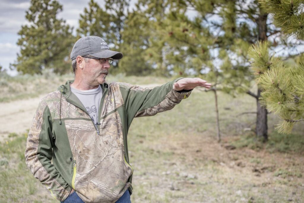
NRCS Soil Conservationist Caitlin Gillespie said the RAP tool has been instrumental in implementing the tree removal project. The historical imagery slider, which compiles all the aerial photos of a specific region as far back as possible, some even from the fifties, and allows users to see how the landscape has changed over the years. As a new project leader in the Malta area, the RAP tool helped Gillespie gain a better understanding of what the country used to look like and quantify the goals of the project.
“Tools like this allow us to see not only in the past what has happened, but also what in the future is going to happen as a result of what we’re doing,” Gillespie said.
For NRCS, she said the RAP tool will help justify the implementation of many projects as well.
“I think that’s what we’ve lacked in recent years, just the data to back up our practices and see that we’re what we’re doing does make a difference down the road,” Gillespie said. “Even if we’re not directly monitoring with the producer, we can look back at our project and say, ‘oh, after we did a cover crop this year, or after we did residue management, their perennial grass cover went up.’ We can look back and keep tabs on what we’re doing and if we see something that didn’t maybe work correctly, then we can go back and make adjustments too, so I think that’s going to be huge.”
There is some degree of trial and error in rangeland management, and the RAP tool helps show what land managers may or may not have observed. For example, Dusty Emond, a rancher in Southern Phillips County, had a clubmoss issue on some acres back in the nineties and attempted to remedy it by spiking the ground.
“I was kind of disappointed, it seemed like all we did was just grow more cheat grass and made it so rough the cows really didn’t want to graze out through it,” Emond said.
Townsend helped Emond analyze this particular acreage on the RAP tool and the year he spiked was evident on the graphs as the bare ground was largely reduced, from about 10 percent to 5 percent. But upon further analyzation, RAP tools also showed that annual forbs were the main driving factor in reducing bare ground, with coverage increasing from it’s all time low of 0.5 percent to 12 percent after spiking. The perennial grasses did some improvement as well, growing from 91 to 92 percent production. So overall, according to data mined through the RAP tool, the spiking project did increase overall grass production on that acreage by about 5 percent, Townsend explained.
Seeing the data the RAP tool could provide, Emond started applying it to more decisions on his ranch. During the recent drought, he utilized the programs stocking rate tool to calculate his winter grass availability and help with his decisions about supplemental feed and cow numbers to keep heading into the winter.
“This winter he was talking about trying to figure out if he had enough hay to feed the cows he had left and how long that grass might last,” Townsend explained. “So we were looking at the winter pastures and calculated out what that pasture has produced through time and tried to get an average based on where we were this year for an estimate of how much grass might be there.”
The tool can serve both as a current AUM calculator and provide historical production data off of which to base decisions. To add to that, it predicts the percent of normal production for the current point in the year. As of June 2022, for example, the given pasture was yielding about 60 percent of its average historical production – likely because the cooler spring has delayed growth.
While Emond still closely monitors his range and makes his management decisions off his years of experience on the ranch, he said his findings on the RAP tool closely matched his “old-fashioned” calculations and reaffirmed his decisions.
“That came pretty close, I had just a little less grazing than I would have thought based on the tool,” Emond said. “Monitoring is probably still the best, but as we all know, by the time we get around to monitoring, it’s kind of a mute point. So, this lets us forecast in the future, and 10 minutes in the office will tell me what two hours of running around checking monitoring sites will tell me.”
He has also closely analyzed grass production after a major cross fencing project and said it “reaffirmed what I suspected.” After piecing a 5,000-acre pasture into three smaller pastures, Emond increased the utilization of that grass by 40 percent.
With the cost of large projects like building cross fence, integrating cover crops, or implementing tree removal, having statistics helps justify the price point and reaffirm those management decisions.
“It’s brought science to the equation,” Koss said. “Things that we may think are happening or not happening, we just don’t have the access to scientific data on our own on the ranch so it’s just been fantastic to have that tool to say, ‘this is right what you’re doing is helping’ or ‘what you’re doing isn’t helping.’ Changes are happening and so it’s just been something that we wouldn’t have access to on our own necessarily.”
That’s why Townsend, through his work with RSA, has helped so many ranchers apply the tool to their operation. One of RSA’s main goals is to help ensure the viability of the modern rancher, who then supports the local community, and continues to maintain critical habitat for thriving wildlife populations.
“When ranchers are able to validate their adaptive management through time, it makes adaptive managers more successful,” Townsend concluded.
By Kayla Walker for Ranchers Stewardship Alliance
